
Doug Weist
(406) 594-2767
SERVICES
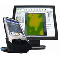
FarmTech offers traditional agronomy services combined with advanced technology and data analysis. Never before have we been able to track on farm data like you can today. The problem isn’t the lack of data, it’s what to do with it. FarmTech has been working with SST Software for over 7 years and was on the forefront of the development of SST Summit Desktop software. FarmTech currently uses Summit Pro and the SST FarmRite server to generate stacks of standardized data. These stacks can then be analyzed and trends identified to increase profitability and reduce risk.
ALL INCLUSIVE ANNUAL PRECISION AGRONOMY PACKAGE
Run as many maps or scenarios as desired (per crop season), no limits or restrictions. All data processing packge must be purchased at beginning of season. Soil sampling and/or UAV costs are not included. To learn more about how we use data to drive your precision ag program, click here.
$3.00 per acre
Yield Data Import
Import of yield data from combine data card. Reporting based on soil type, management zone, fertilizer treatment, variety and a summary of the year by crop. Any number of combines and any make of combine can be imported and merged together. Corrections to the data can be made. To learn more about crop and yield data click here.
Included in annual precision agronomy package
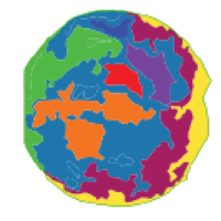
Zone Creation
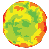
Multiyear analysis of yield data or satellite imagery to generate “zones” within a field boundary. These zones can then be sampled and nutrient inventory established for accurate spatial nutrient recommendations. This data can be reused. To learn more about zone creation
Included in annual precision agronomy package
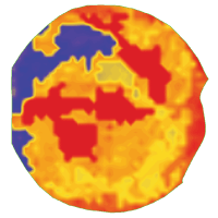
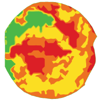
Spatial Nutrient Recommendations
FarmTech algorithms are used to generate spatial nutrient recommendations. Spatial soil sample results and yield data are used to drive the maps. Yield can be historic one year, multi year normalized or a field average.
Included in annual precision agronomy package
Prescription Writing
Conversion of nutrient maps to product prescription maps. Each map is tailored specifically to each applicator’s capability as well as the controllers specific data requirements. Prescriptions can be wirelessly sent to application equipment via cellular modem using Topcon TAP or Raven Slingshot.
Included in annual precision agronomy package
Yield Data Processing
Multiyear analysis to define trends in yield responses. Normalized yield, temporal yield, management units, correlation matrixes, means tables, and farm wide reporting by soil type, variety, fertilizer treatment and pesticide treatment. All year processing or select year(s) processing is all available.
Included in annual precision agronomy package
SOIL SAMPLING SERVICES
FarmTech has more than a decade of experience working with leading labs, software, and sensors to provide accute and action soil data in a timely matter. To learn more about FarmTech soil sampling, click here.
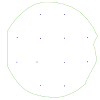
Soil Inventory
Simple bulk sample of field. GPS mapping of points to insure standardized sampling in the future. Results are seamlessly and automatically exchanged between Midwest Laboratories and SST FarmRite Servers. Great for reporting to NCRS.
$85 / Sample
Bulk Soil Sample Recommendations
End user provides yield goals and crops. FarmTech will generate whole field recommendations and report them in a booklet for easy budgeting. Cost can also be associated to get a good financial picture of the upcoming season.
$100 / hr
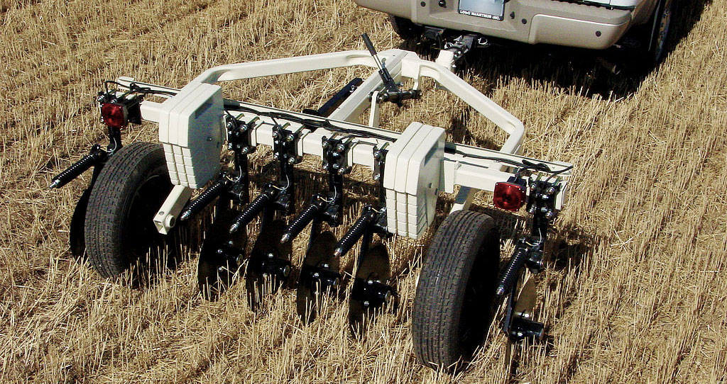
Veris Scanning
End user provides yield goals and crops. FarmTech will generate whole field recommendations and report them in a booklet for easy budgeting. Cost can also be associated to get a good financial picture of the upcoming season.
$7.50 per acre
IMAGERY SERVICES
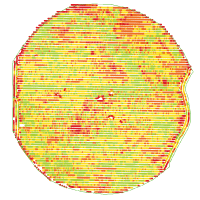
On the ground data from soil testing and harvest tracking can be supplemented with aerial imagery taken from commercial satellite services or with FarmTech’s state of the art UAV (drone). We extract actionable crop health metrics to push your precision ag program to the cutting edge. To learn more about FarmTech imagery services, click here.

Aerial Imagery Data Processing
We can use our expertise in satellite imagery and GIS software to process data for use in SST. Whether historical data or the most recent images available, we can process and prep imagery for use in SST to inform your prescriptions.
$100 / hr
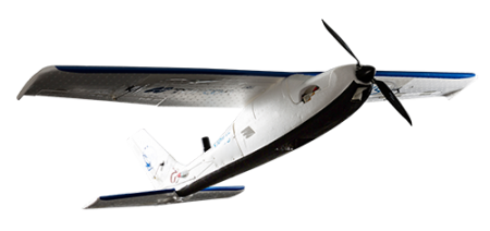
UAV Services
Put our experienced pilots and our Mavinci Sirius Pro UAV to work on your next project. FarmTech multispectral imagery is perfect for your crop or rangeland application.
$250 / hr
+
$.65 / mile
TECHNICAL SUPPORT SERVICES
Let us put our years of experience with the lastest precision agronomy technologies to work for you.

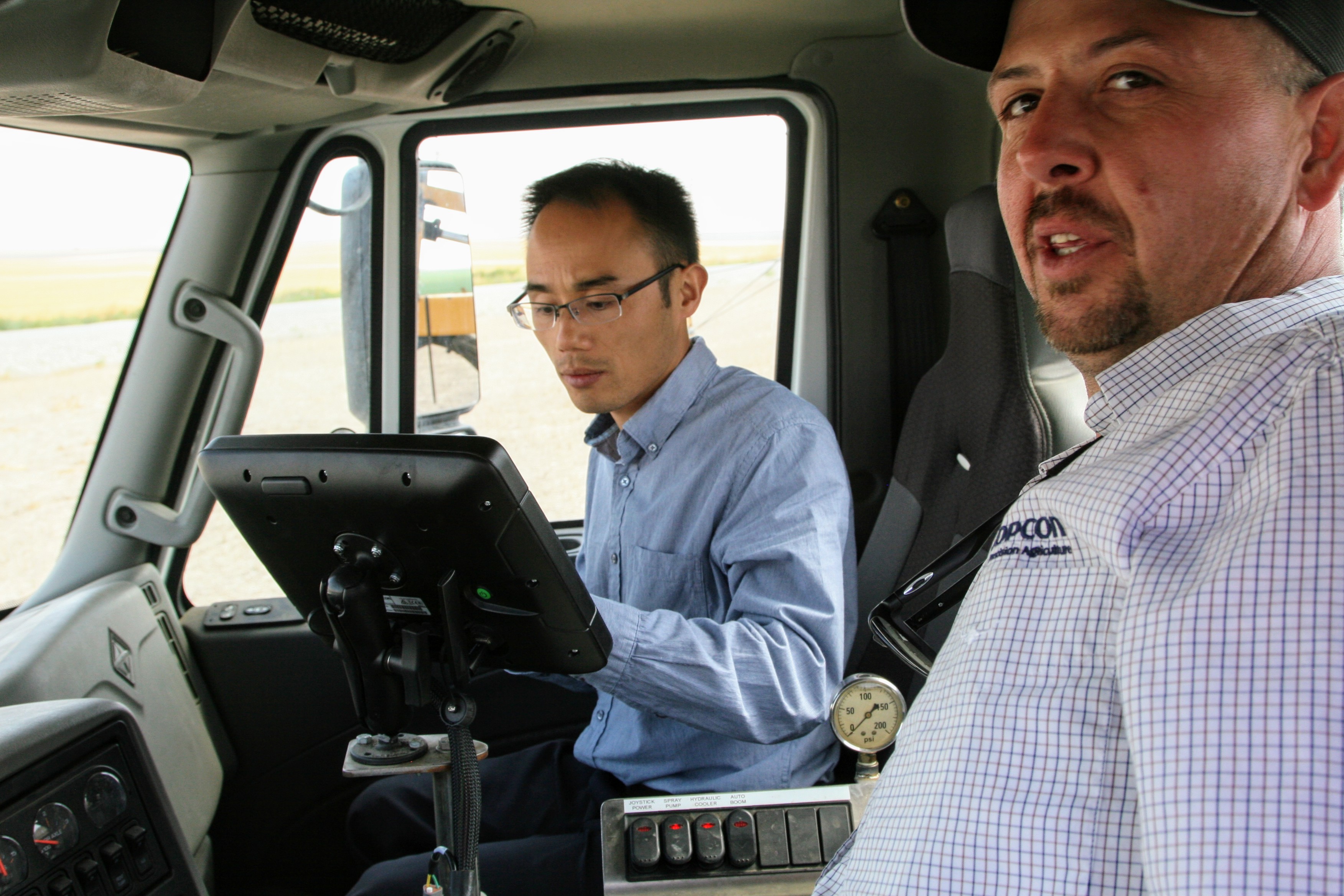
GPS and Autosteering Tech Support
On farm and in field service call to trouble shoot GPS hardware and autosteer equipment. From broken wires to firmware upgrades, FarmTech can get you going in a hurry. Knowledgeable on all brands of GPS equipment and machine control. Topcon/Trimble/AgLeader/OutBack/GreenStar.
$100 / hr
+
$.65 / mile
Professional Installation
FarmTech can install your new hardware and make it look like it was put in at the factory.
Click here to learn more about our installation and training services.
$100 / hr
+
$.65 / mile
SST Summit Data Entry
Entry of farm records. Blank reports are printed before the season. End user fills them out. FarmTech enters data and costs to generate reports. Click here to see an example of a full example of a farm operational report with cost.
$100 / hr
©2015 FarmTech LLC | Farm Tech, LLC | 2641 5th Lane NW | Choteau, MT 59422 USA | 406.594.2767![]()
Topcon • SST Software • Spray Target • Dakota Micro • Intuicom • Dickey-John