One platform. Every data source your farm produces.
Soil, satellite, machine, weed, and weather data, turned into maps and prescriptions. One login, not five portals.
What FarmIQ™ does
Soil Intelligence
Nutrient maps and variable-rate prescriptions from every soil sample, ready for the first pass of the season.
Satellite Monitoring
In-season crop health, nitrogen status, and anomaly detection. Know which fields are behind before you drive out.
Machine Data
Seeding, yield, and as-applied maps from your equipment become FarmIQ's baseline.
Long-Term Yield Maps
Up to 14 years of history, built into relative yield maps for every crop on every field.
Weed Intelligence
FarmDefender™ detections and nozzle activations flow in, GPS-mapped. This year's weed map becomes next season's spot-spray prescription.
Spray and Tell
Tank mixes, label-verified rates, and exact gallons per field, recorded while you work, not typed in after dark.
Prescriptions
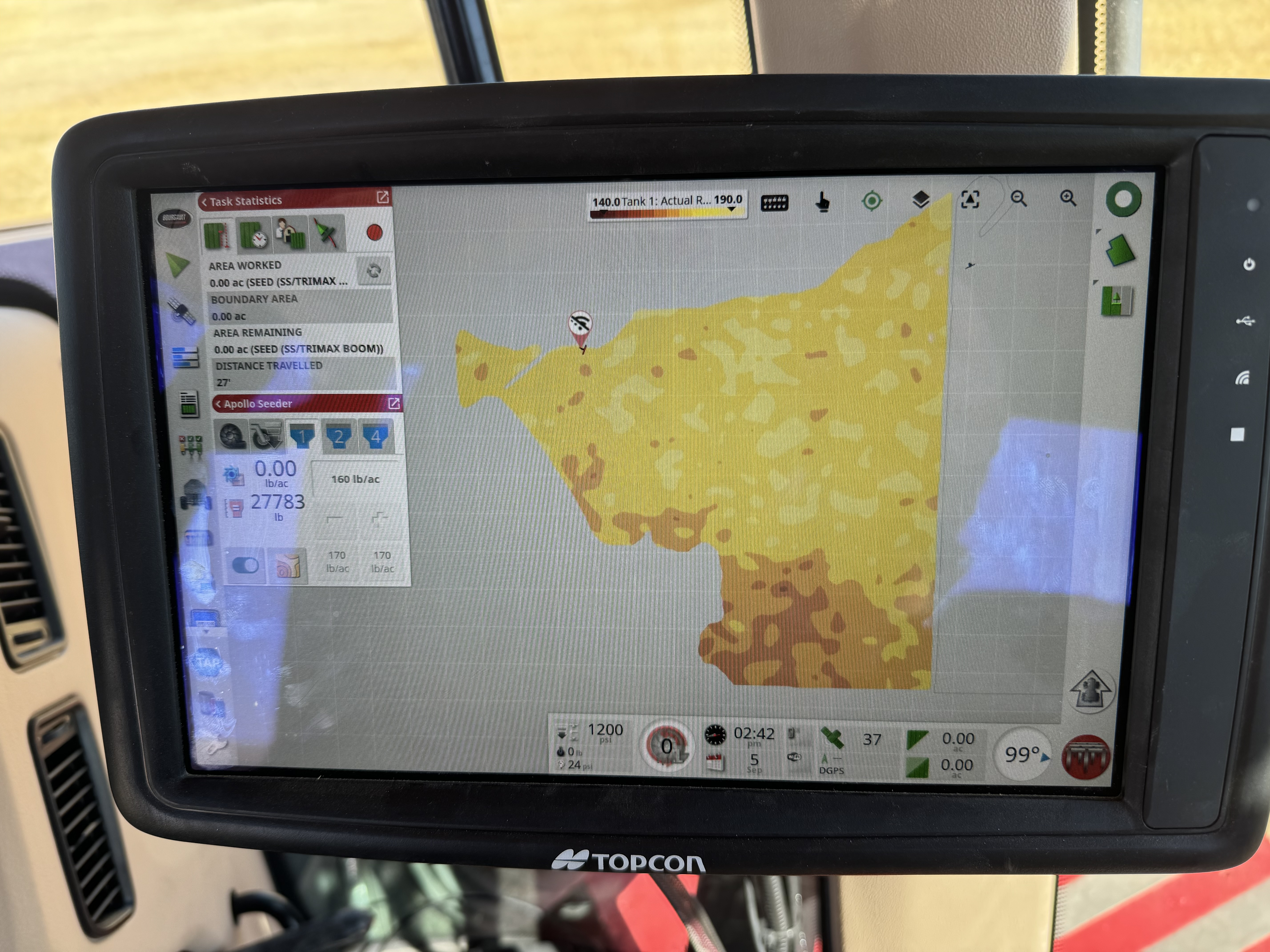
Variable-rate seeding, fertilizer, and spray maps from your actual data, in files your equipment already reads.
FarmLink
LTE or Starlink in the cab, and ±2.5 cm RTK from a base on your place. Month to month. How it works →
FarmTag
An NFC tag on every machine. Tap with any phone for the service log, filters and checklists. How it works →
It all feeds in automatically
Every source you already use lands in one place.
- Soil scanning — becomes zone maps and prescriptions, automatically.
- Satellite nitrogen monitoring — in-season nitrogen and biomass, plus NDVI pre-plant scouting.
- John Deere Operations Center + CNH AFS — seeding, yield, and as-applied data via signed API agreements.
- Topcon TAP — data in, prescriptions out in Topcon-native format.
- Spray and Tell — mixes, rates, and gallons per field.
- FarmDefender™ — as-applied weed data.
- FarmLink — connectivity and RTK, so prescriptions run in the field.
What it looks like when it's all working
Soil maps, satellite nitrogen, and long-term yield maps sit under this year's seeding plan. You see where phosphorus is short and which fields lag.
No agronomist call. No spreadsheet. The full picture.
Common questions
Yes, a modest one: long-term yield potential maps and weather, so you see the platform working before spending a dollar. Spray and Tell, satellite imagery, agronomist analysis, and variable-rate prescriptions are subscription-based.
You get it all back: boundaries, soil maps, spray records, and prescriptions in shapefile, ISOXML, or CSV. It's stored per customer, not pooled, and deleted from our servers when you leave.
Yes, that's what Spray and Tell was built for: clients, farms, and fields in one account. Exact gallons are tracked per field, per operator, per pass, even across 20 fields in a day.
Ready to run your farm on one platform?
We'll show you FarmIQ on your own ground, not made-up fields.